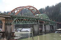
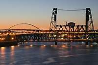
Oregon Highway 30
19 images, shot on 02/17/2005

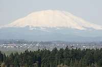
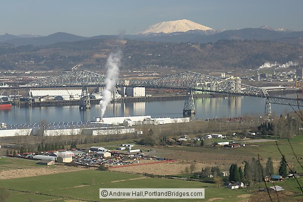
Lewis and Clark Bridge, Mt. Saint Helens, Columbia River

SCROLL DOWN past Thumbnails to browse all photos larger size - or Click/Tap Here to browse; new photos appear at the bottom as you scroll down.