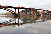
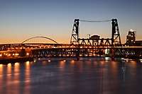
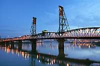
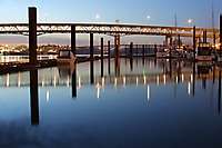
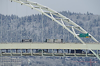
Portland Bridges
39 images, shot on 05/15/2000

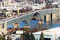
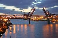
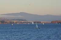
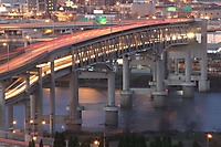
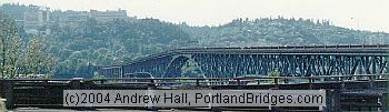
Ross Island Bridge

SCROLL DOWN past Thumbnails to browse all photos larger size - or Click/Tap Here to browse; new photos appear at the bottom as you scroll down.

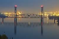
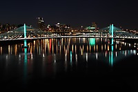
Portland Bridges
39 images, shot on 05/15/2000
SCROLL DOWN past Thumbnails to browse all photos larger size - or Click/Tap Here to browse; new photos appear at the bottom as you scroll down.
Groups of Related Photos
Groups of Featured Photos
Groups of Recent Shoots
External Links
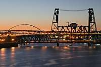
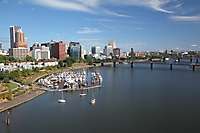
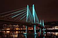
Portland Bridges (2)
Portland Bridges (3)
Portland Bridges (4)
Portland Bridges (5)
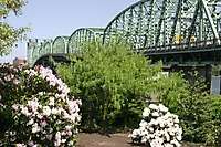
Fremont Bridge (2)
Fremont Bridge (3)
Bridge Pedal 2000, Fremont Bridge
Portland Bridges (6)